


Surveying & GIS

Surveying
& GIS.
Reduce In-field Time
Flying above your survey area, Marlyn can capture land survey data up to 10 times faster than multirotor drones, and up to 30 times faster than traditional terrestrial survey methods, saving you time and cost.
Go Where Others Can’t
Need to go off the beaten track? Being able to take off and land anywhere, fitting everything into a backpack, and being able to fly anywhere by commercial aircraft means any location will be accessible to you with Marlyn.
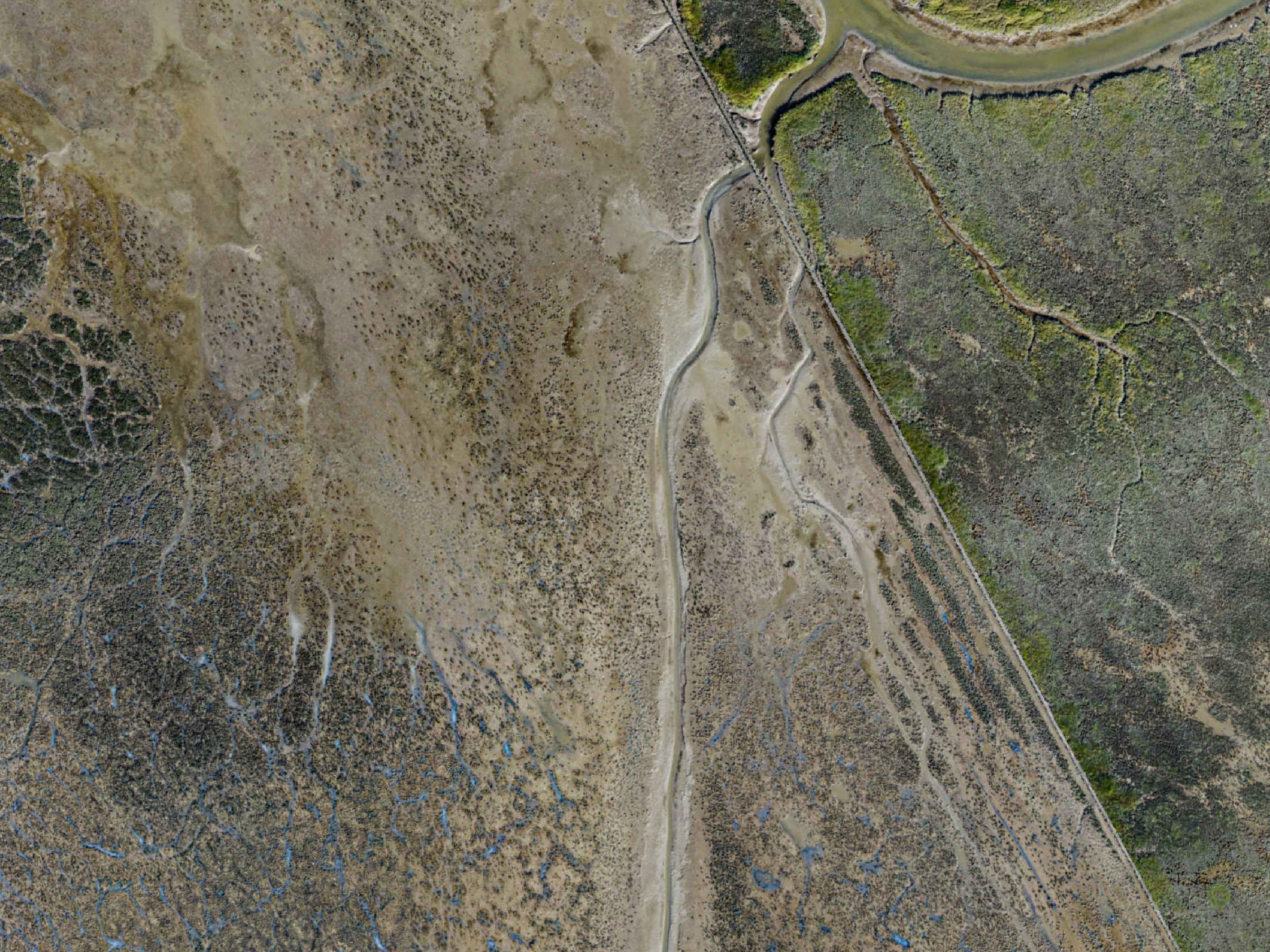
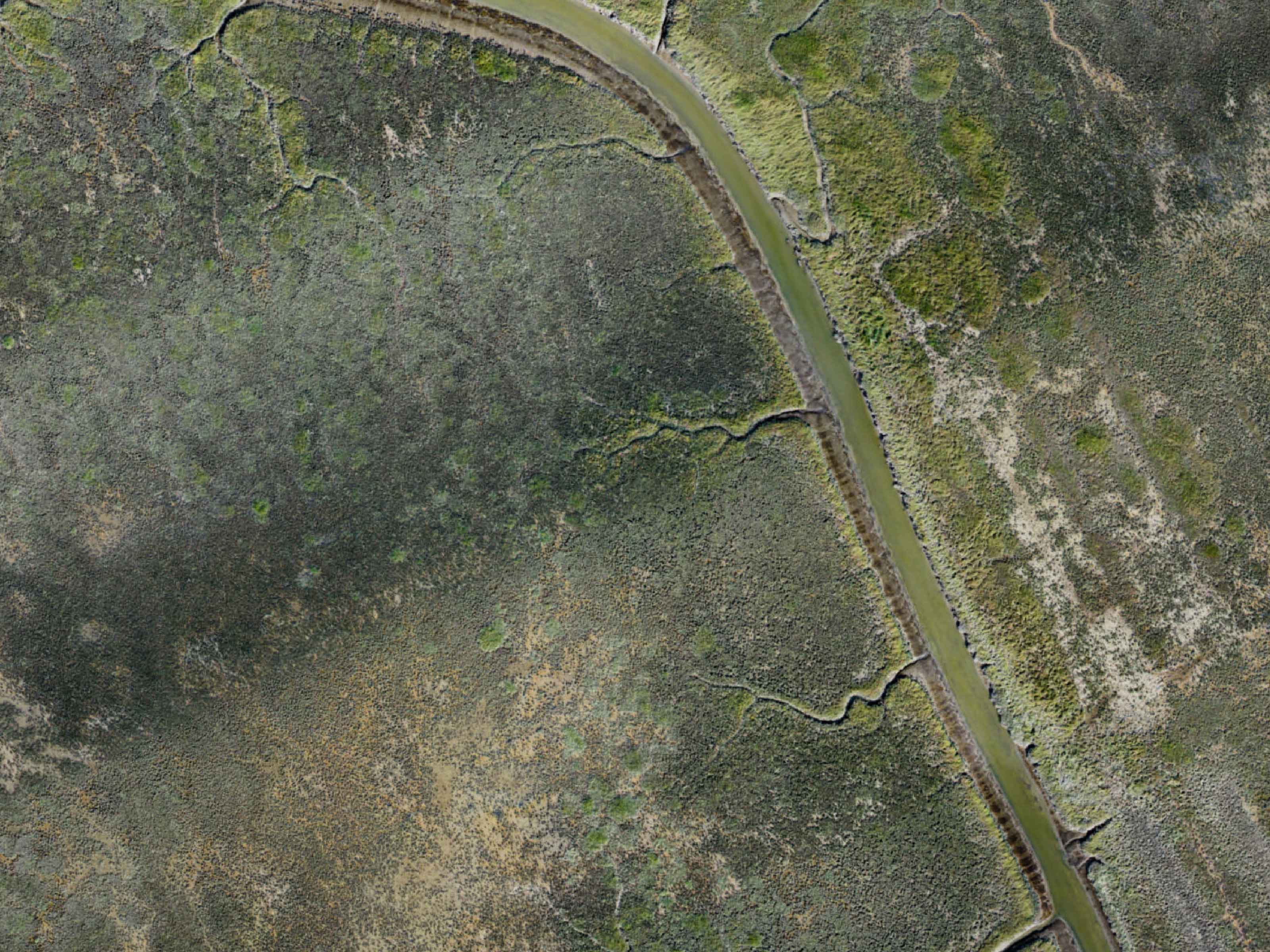
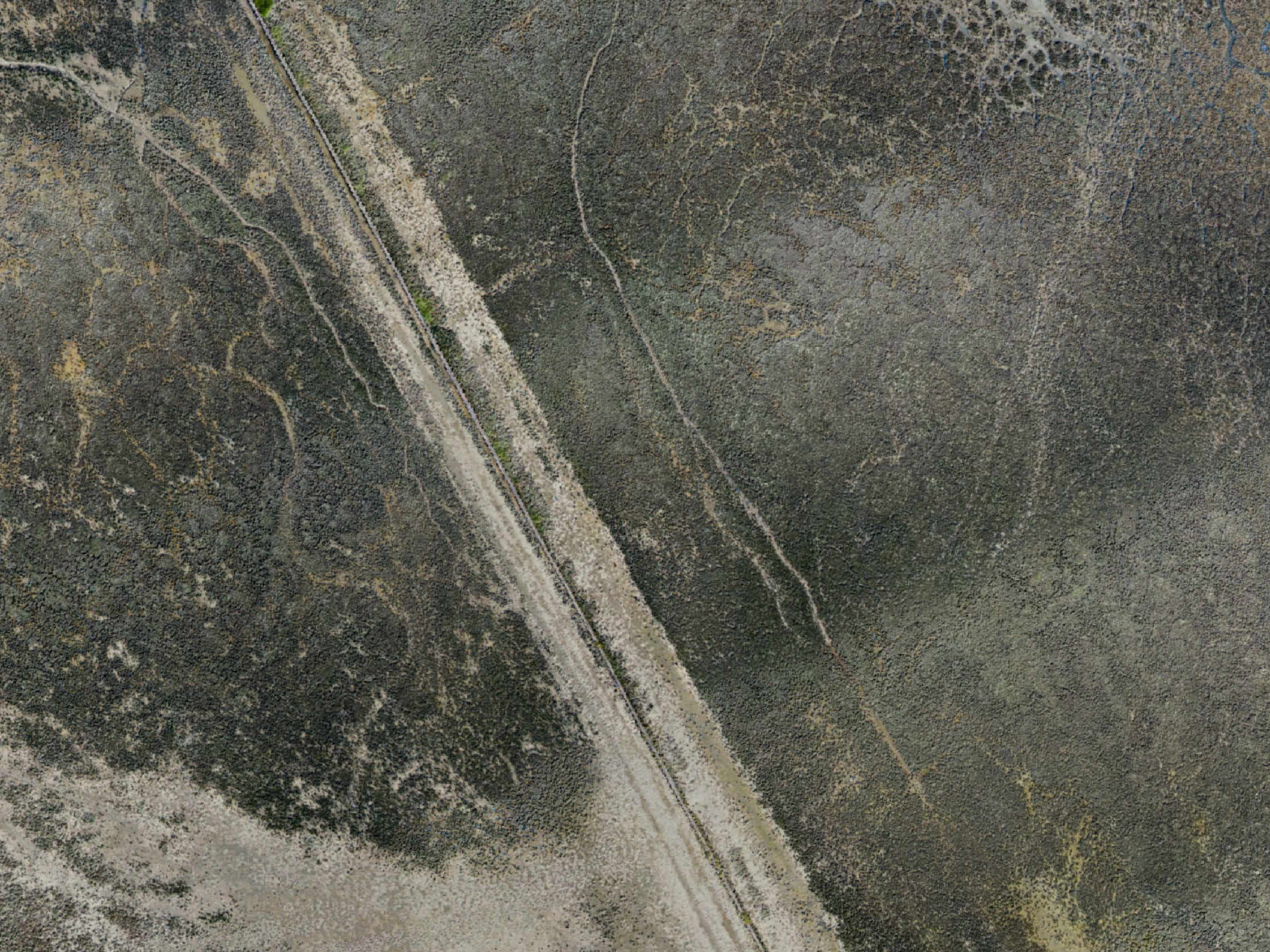
Get Total Coverage
Compared to terrestrial survey methods, a drone survey yields a point cloud of millions of cm-accurate data points. The result is that your site gets complete coverage for the precise data you want to extract out of it.
Attain High Accuracy
Marlyn is a survey tool first, and a drone second. For Marlyn, this means each design detail has been optimised to maximise the precision of your output data. This means cm-accuracies each time you fly. Don't settle for less!


.png)

Frequently Asked
Questions
Do you have special requirements?
We continue to be surprised by the breadth of different applications which are suited to Marlyn. That's why we're always happy to provide a free consult about your unique survey requirements to see if there's a fit. Click below to get in touch!
Contact Sales


