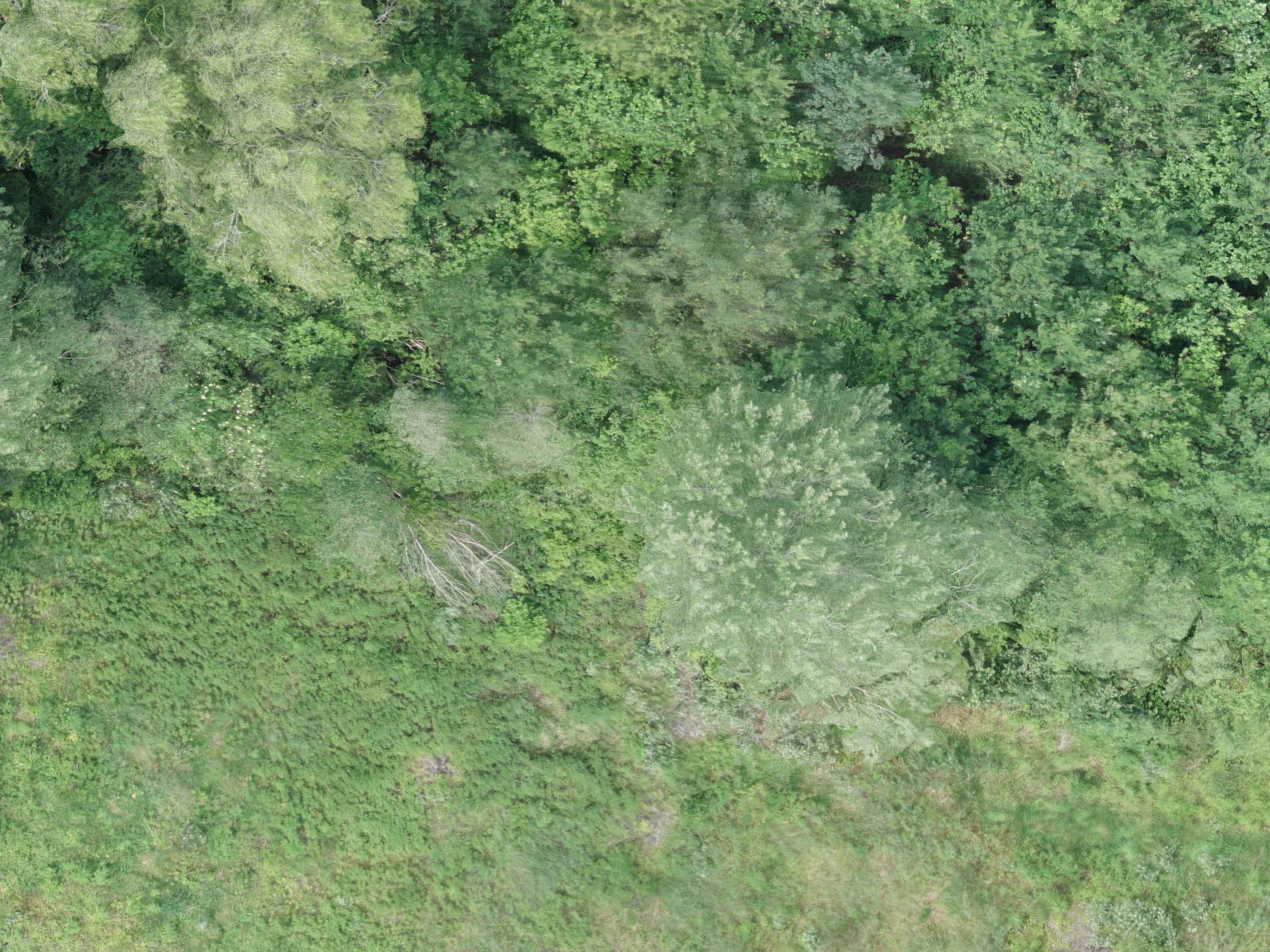
Environmental Protection.

Reduce Time and Costs

Marlyn covers areas as large as 150Ha (370 acres) per flight, massively reducing your survey time. In addition, Marlyn is a one-time cost, resulting in a much cheaper option per Ha than manned-aircraft options.

Gain New Insights

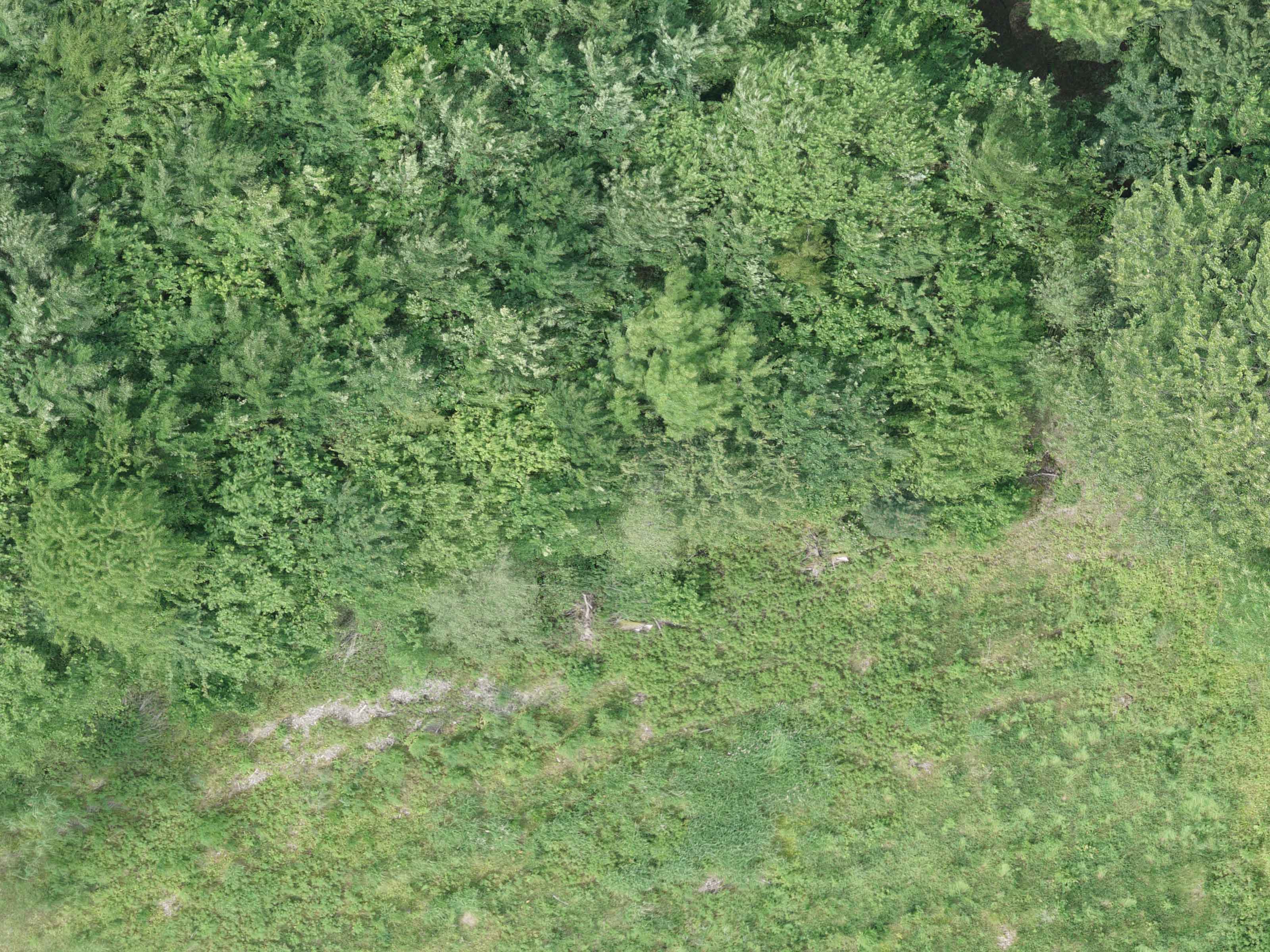
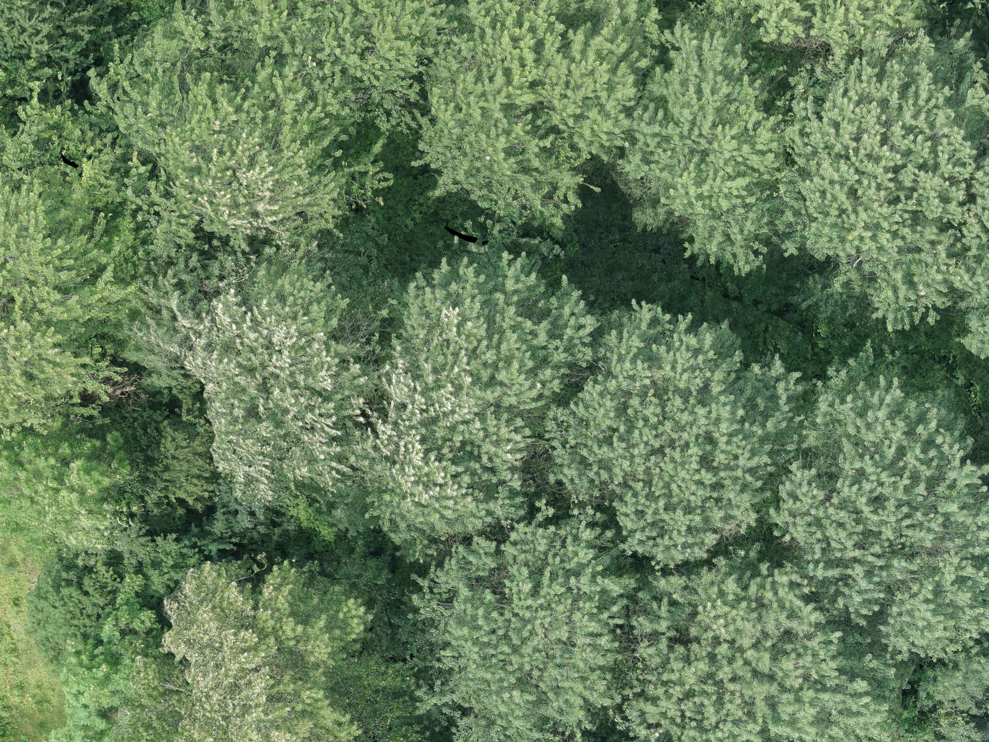
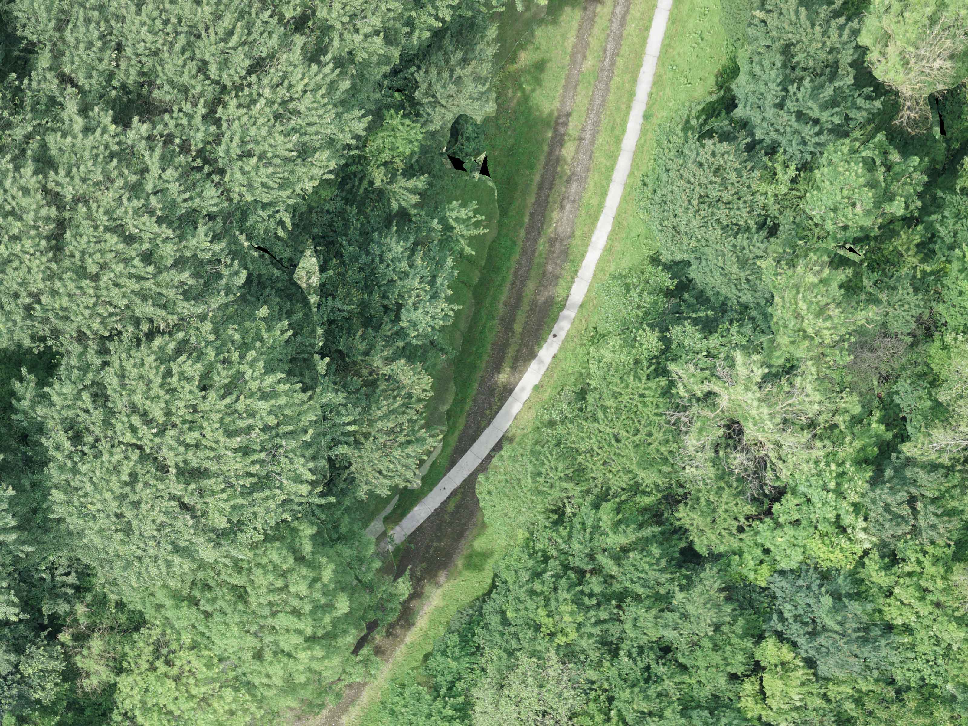
With Multispectral as well as Radiometric Thermal data, Marlyn is capable of seeing beyond the visual, providing new insights into plant health, animal behaviour, and more, that was previously thought impossible.

Monitor and Control

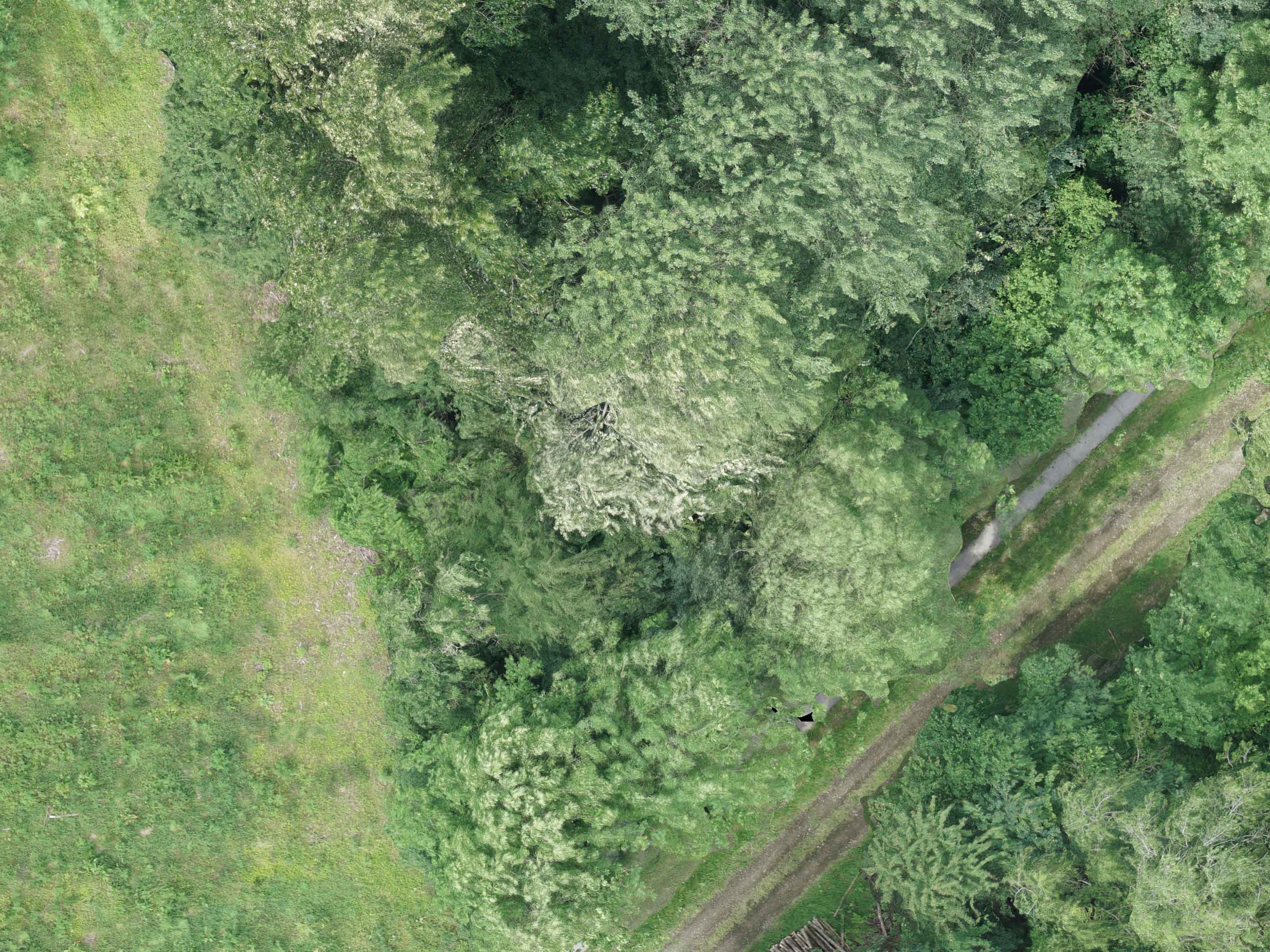
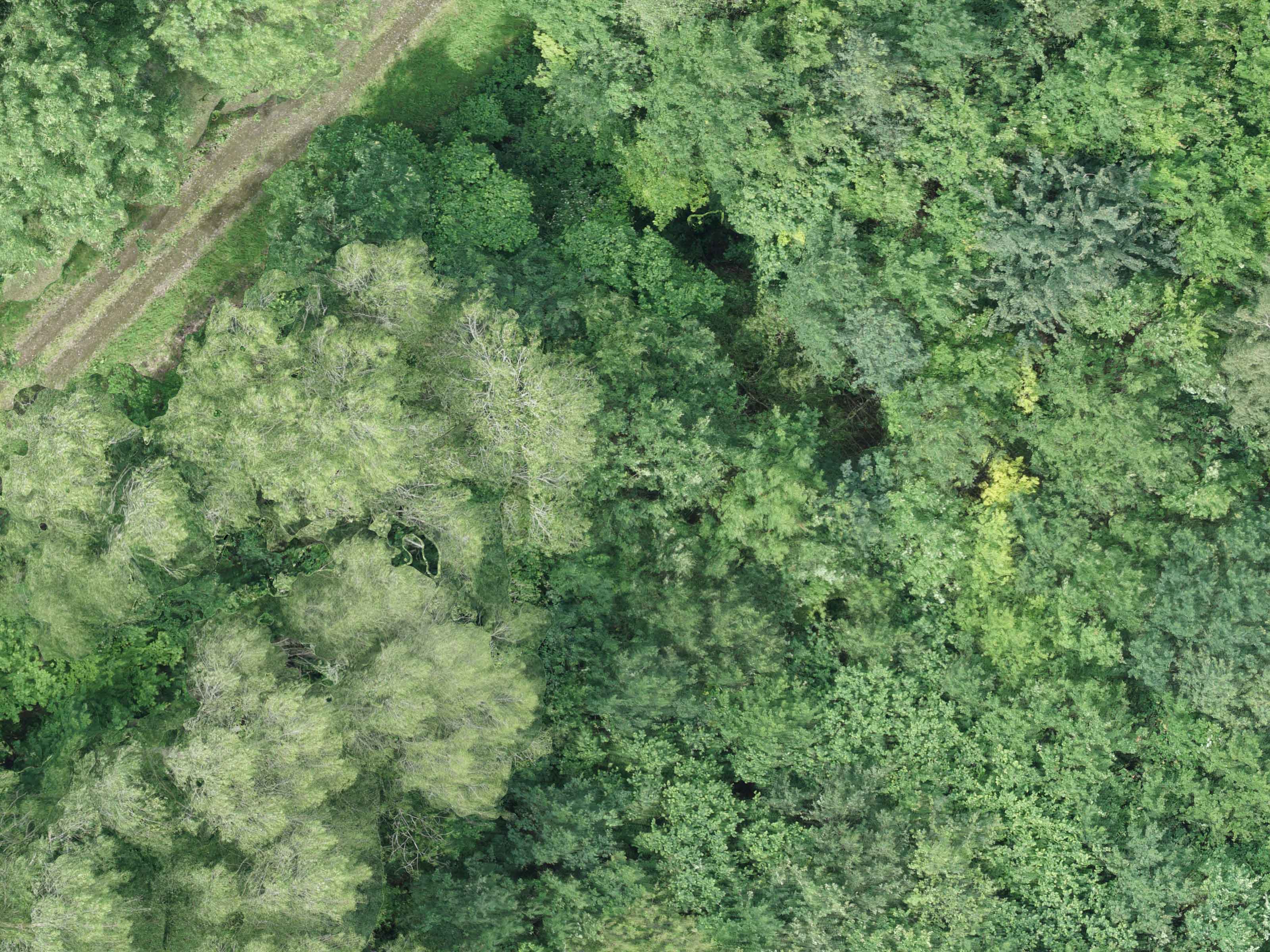
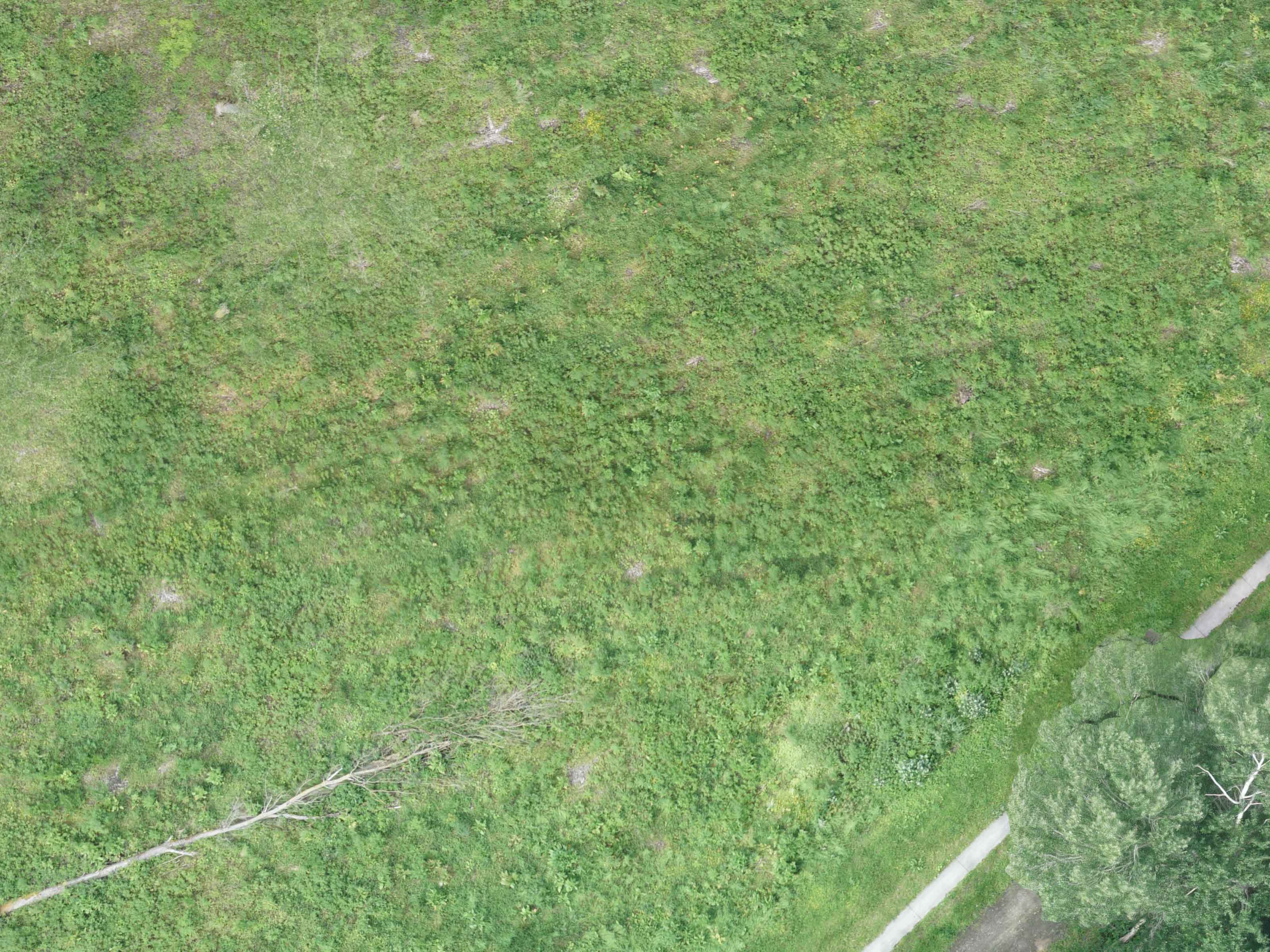
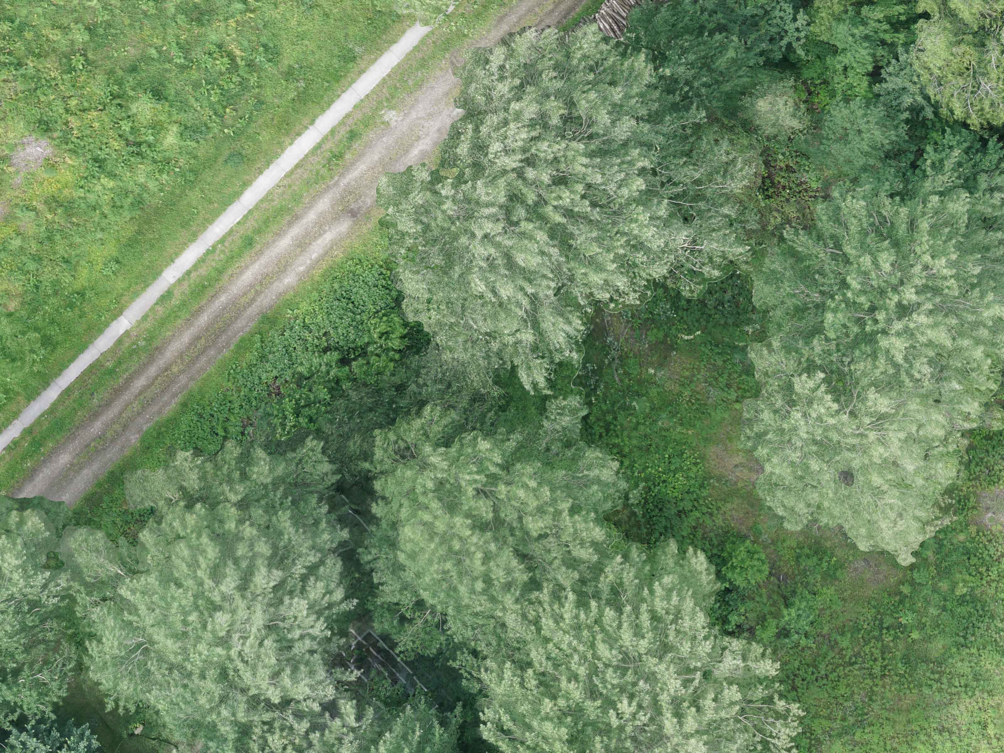
Marlyn provides total coverage of your particular area, including millions of individual & accurate data points. This allows you to glean a variety of data to both monitor and provide corrective actions to your study area.

Data on Demand

Sick of waiting for satellite data to become available? Wanting a drone you can use on demand? With Marlyn you can fly any time even in strong wind conditions, meaning you can get your data when the project demands it.

Camera:
RX1RII
Flight Time:
GSD:
1,76 cm/px
Height:
140 m
Images have been heavily compressed for online viewing.
Download Dataset

Frequently Asked
Questions

Do you provide custom sensor integrations?
Due to the requirements of a fixed-wing drone, it is not possible to quickly integrate custom sensors for single projects. However we always welcome the feedback of our users for new sensor integrations, so feel free to get in touch with your suggestions and we will be happy to investigate its feasibility for current releases..
What is included with Marlyn’s bundle?
The main components are: Marlyn VTOL drone (ready to fly), sensor including lens and accessories, Navigator planning and ground control software (+ unlimited updates), protective transportation backpack, two sets of flight batteries and a dual battery charger, radio modem to connect your laptop/tablet with Marlyn, remote control, user manual and in-field maintenance kit.
Which post-processing software can be used for photogrammetry?
The geo-tagged images captured by Marlyn can be analyzed with your preferred post-processing software (e.g., Pix4D, Agisoft, etc). Atmos UAV can also provide you a complete bundle with post-processing software included.
Is the software compatible with Windows?
Navigator and Geotagger can run on most modern Windows tablets or laptops. The minimum required operating system is Windows 10.
I have a question

Do you have special requirements?

We continue to be surprised by the breadth of different applications which are suited to Marlyn. That's why we're always happy to provide a free consult about your unique survey requirements to see if there's a fit. Click below to get in touch!

Contact Sales

Continue Exploring